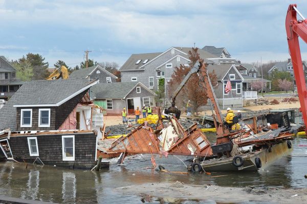
Flood is one of the risks that could endanger our house. Proper insurance policy should be able to protect our possessions and house from total loss due to the rising water. The nearby river could overflow into our house and this is a frightening thought. In many cases, property or homeowner’s policies exclude this kind of peril.
In some cases, our house could be in a high flood risk area. In this case, the bank that provides us with the mortgage may require separate flood insurance. It means we should be fully aware about the true hazard of flooding. Some areas may occasionally out-of-the-blue rain events that cause intense flooding, even in some of the low-risk areas. It means that even properties in low-risk areas should be protected by a flooding coverage.
In some areas, they have long history of major flooding along the large river and creeks. Despite the presence of nearby dams, flooding could occasionally happen if the rain is exceptionally intense. Before we purchase a property that is located near lakes or rivers, we should know whether these bodies of water have a long history of inundating nearby areas.
Some locations have many rivers subject to frequent flooding after heavy rain. Even a normally calm river could turn into a great torrential one, once every few years. Before we purchase an extra flooding component into our property insurance, it is important for us to understand about the terminology that’s used in the flood insurance and risk policies. Some of these terms can be confounding enough. Here are some of terms that we should know:

- Base flood elevation: It’s the level at which there’s one percent chance of flooding in one year. It’s the limit between risky and non-risky elevation in the area.
- Elevation certificate: It is a certification that clarifies the relative elevation of our property related to the known flood risks. It provides an accurate rating for the flood insurance policy. Getting a proper number could help to reduce the insurance rates of our flooding coverage.
- Flood Insurance Ratings Maps: These maps are created by the Federal Emergency Managament Agency to determine the areas that can be flooded at any given time of the year. It determines the elevation of specific areas, especially if they are located in low areas near lakes, rivers, creeks and others.
- Floodplain: It is a typically dry land area, but can be inundated by water during heavy rainy season. If our property is located in the 100-year floodplain, it would be inundated once in a 100-year time.
- Flooding: It means that the rising water has entered any structure in the property. Inundation could happen after a flash flood and there are also other possible perils, such as mudslide.
- 100-year flood: It’s an engineering term that mentions about the risk of relative flooding. In any given year, there could be a one percent chance that our house is badly flooded.
- LOMA (Letter of Map Amendment): It’s a document that establishes whether an area is location hazard areas.


